Crestview Area Pivot Farm

Property Description
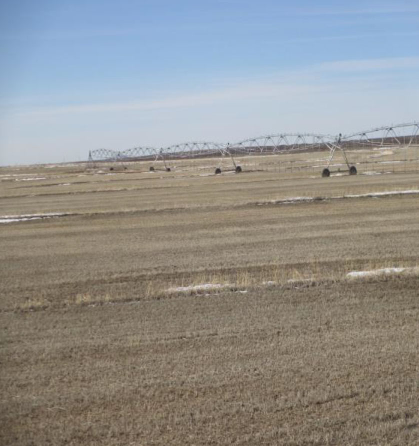
There are a total of 320 acres of which FSA records indicate a total cropland acreage of 189.17 acres. Irrigation water is supplied by a groundwater well with water right 36-7974 with a priority date of 3/25/1981, a copy of which is included in this brochure. The water right is for 201 acres. Soils on the farm land are Dolman Silt Loam and Power Owinza and the elevation is approximately 4,180 feet. The allowed water usage per the 2023 Magic Valley Water District Measurement Report is 321.6 acre feet.
Location
From Paul, Idaho go one mile north on County Road 600 West then take Road 100 North west 7.8 miles to the east boundary of the farm. A convenient route to the property is from the intersection of Highway 25 and County Road 1150 West go north on 1150 West 1½ miles north then travel approximately 2½ miles west along County road 100 North to the entrance.
